-40%
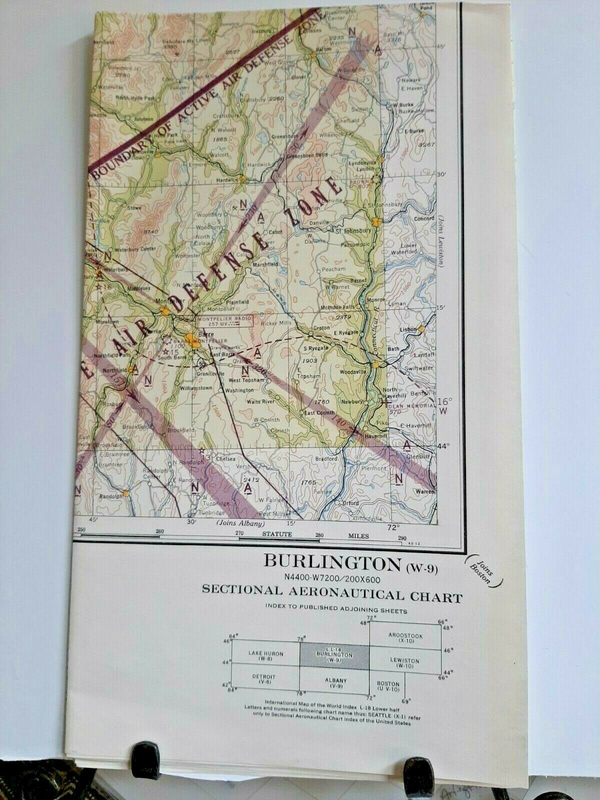
WW2 Sectional aeronautical charts 1945-46 Army Air Force maps of US areas
$ 5.28
- Description
- Size Guide
Description
1945-1946 WW2 Army Air Force navigational maps. Own a piece of US Military History! All maps are in good condition and are folded.86 maps will be listed. All are in very good to excellent condition. all are 1945-1946. the list of locations is as follows: Grand Canyon s-3 Restricted Orlando O-8 Oklahoma City R-5 Norfolk RS-9 Mobile P-7 Elko u-2 Huntington t-8 Jacksonville P-8 Kootenai Y-2 Detroit V-8 Green Bay W-7 Douglas P-3 Restricted Kansas City T-6 Grand Junction T-3 Restricted Glacier Park Y-3 Yellowstone Park W-3 Klamath Falls V-1 Restricted Lake Superior X-7 Lake Huron W-8 Lake of the Woods Y-6 Salina T-5 Miami N-8 Charlotte R-8 Aroostook X-10 Burlington W-9 Albany V-9 Minot Y-5 Roswell Q-4 Casper V-4 Fargo X-5 Des Moines U-6 El Paso P-4 Duluth X-6 Winston Salem S-8 Cheyenne U-4 Chicago U-7 Corpus Christi N-5 Cleveland U-8 Dallas Q-5 Phoenix Q-3 Restricted New Orleans O-6 (2 of these) Mt Shasta U-1 Restricted Des Moines U-6 Nashville S-7 Salt Lake City U-3 Seattle X-1 San Francisco RS-1 Shreveport Q-6 Sioux City V-5 Spokane X-2 Trinidad S-4 Tulsa S-6 Twin Cities W-6 Washington T-9 Wichita S-5 Williston Y-4 Aberdeen W-5 Milwaukee V-7 Reno T-2 Restricted Los Angeles R-2 Lincoln U-5 Miles City X-4 Restricted Lewiston La Grande W-2 Little Rock R-6 Boston UV-10 San Diego Q-2 Bellingham Y-1 Beaumont P-6 Austin P-5 Albuquerque R-4 Restricted Mt Whitney S-2 Boise V-2 Restricted Birmingham Q-7 Sacramento T-1 Savannah Q-8 San Antonio O-5 Portland W-1 Denver T-4 Del Rio O-4 Pocatello V-3 Prescott R-3 Rapid City W-4 Restricted Cincinnati T-7 Chattanooga R-7 Butte X-3 Restricted
Folded Maps are approximately 12x8", unfolded 24x46 approximately. Most look like they were never unfolded.


